encompassing key regions and towns including:
From the tranquil inlets of Cape Conran to the dramatic alpine routes around McKillops Bridge
🛰️ Mercator + UTM inset — Straightforward bearings on the main sheet
Combining beautiful design with powerful educational content
Feature Details Title Pacific Ocean Floor Series National Geographic single-sheet ocean floor (physical) map Original Publication 2007 Scale 1:37
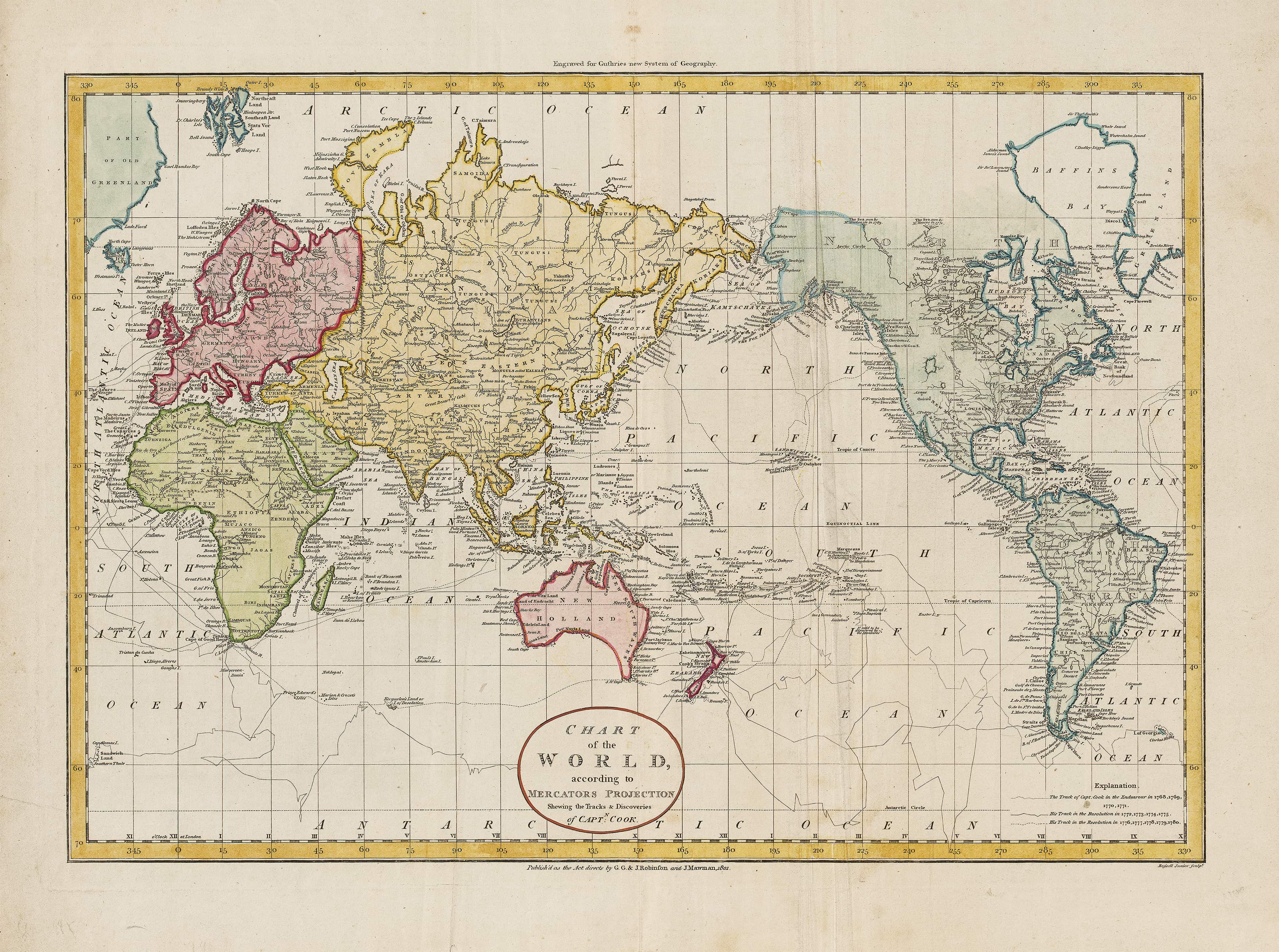
Captain Cook's Voyages World Wall Map Published 1801 Canvas Wall Map encompassing key regions and townsCaptain Cooks Voyages World Wall Map (1801) In a sweep of ink and latitude, this 1801 world map gathers the wake lines of Endeavour, Resolution, and Discovery into a single breath held portrait of the Age of Discovery. Track by track, Cooks three voyages stitch the Pacific into focus; Vancouver and La Prouse enter the scene, their routes crossing like threads as shorelines sharpenAotearoa New Zealand, Australia, the rugged Northwest Coast of America,